Live camera
Ono River live camera — Oita
The largest river in Oita Prefecture, draining the Sobo range. Wide gravel bars remain in its middle reaches, so rises are easy to read.
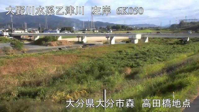 Sample August 2026
Watch it here
Play the stream
Nothing is requested from YouTube until you press it. What plays is the operator's own stream; this site neither records nor rebroadcasts it.
What you are looking at
The wide gravel beds in the middle reaches come from how this ground was made. The river cuts into a plateau of hardened pyroclastic flow from an Aso eruption, and the rock it has cut collects as stones on the beds. On the same plateau there is also a waterfall where the river drops over a step. The relation between hard rock and the water that cuts it has become the landform itself.
That makes a rise easy to read. How far the water has covered the beds where stones usually show tells you how fast it is coming up.
The source is not in Oita but on the Miyazaki side: Mount Sobo in Takachiho, at 1,756 metres, the highest source among the rivers listed here. The river cuts through the Taketa basin, takes in the Ogata and others, comes down the gorge of its middle course and reaches the Oita plain at Hetsugi. It runs 107 kilometres over 1,465 square kilometres, across Oita, Miyazaki and Kumamoto.
Flood damage here is recorded from far back. The typhoon of October 1893 left 266 dead or missing in Oita Prefecture, 173 of them people of this basin. The storm of September 1943 flooded nearly 30,000 houses in the prefecture. The basin is wide, across three prefectures, so where the rain falls changes the shape of the flood. There was a large flood in September 2005 as well.
Because it comes from the Aso side, turbidity can linger for a while after rain. The end of the rainy season and typhoons move it most. Leave evacuation decisions to the local authorities. The feed rotates between points.
About this camera
| Place | Oita |
| Format | Live video, rotating |
| Time zone | Asia/Tokyo (UTC+9) |
| Category | River |
| Operator | MLIT river live streams |
| Terms of use | Government Standard Terms 2.0 |
The operator's own page
The footage belongs to each agency. This site is an unofficial guide, and each sample frame was copied once per camera under that agency's terms of use.
Cameras nearby
- Bansho RiverSaiki, OitaLive video, rotating
- Mount Tsurumi and Mount GaranOitaStill, every 2 min
- Mount KujuOitaStill, every 2 min
- Oita RiverOitaLive video, rotating